

Project Description
Client
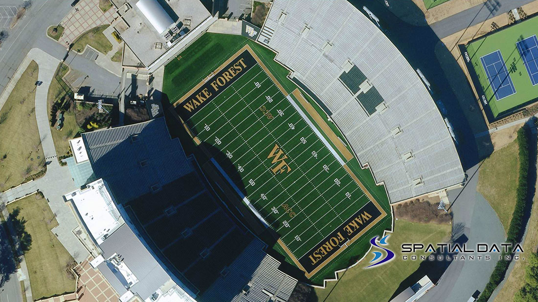
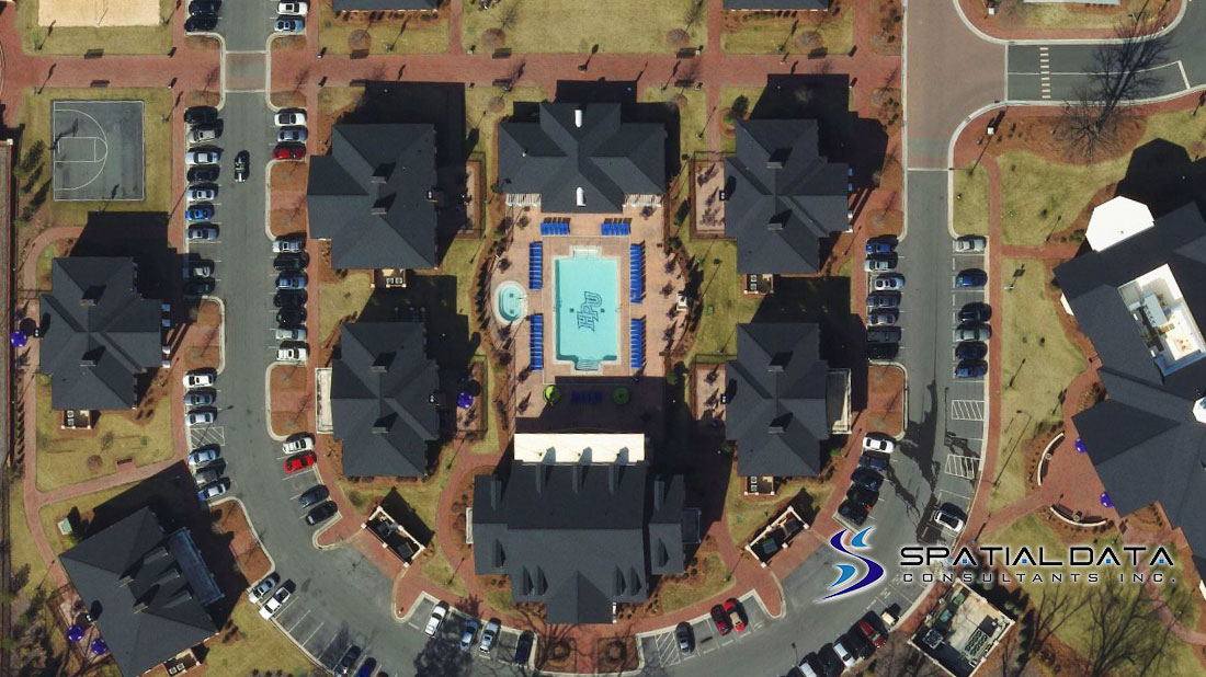
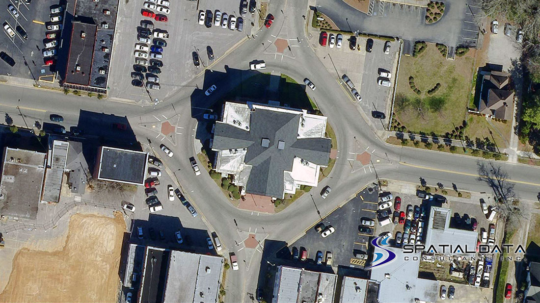
Columbia County, GA LiDAR and Orthoimagery 2015
http://gis.columbiacountyga.gov/
Location
Evans, Columbia County, Georgia
375+/- Square Miles
Markets
- County Government
Solutions
- Surveying
- Digital Aerial Imagery
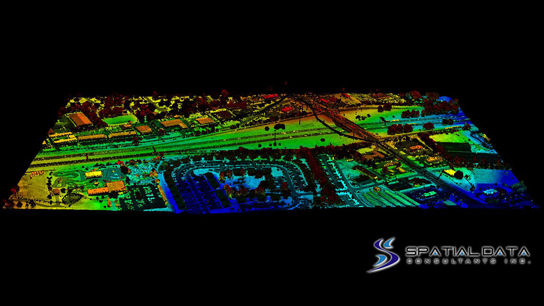
- Airborne LiDAR
- Digital Photogrammetry
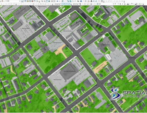
- GIS
Services
SDC provided the following range of services for Columbia County, GA.
- Project Technical Planning
- GPS Ground Control Survey
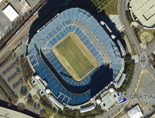
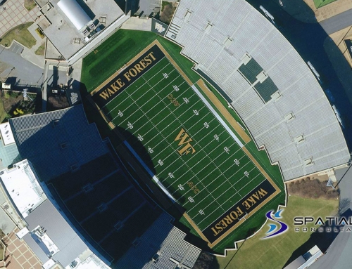
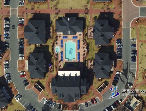
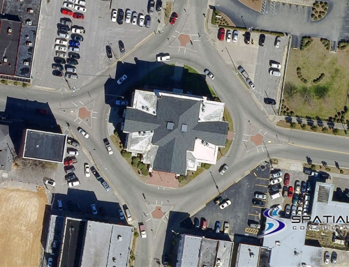
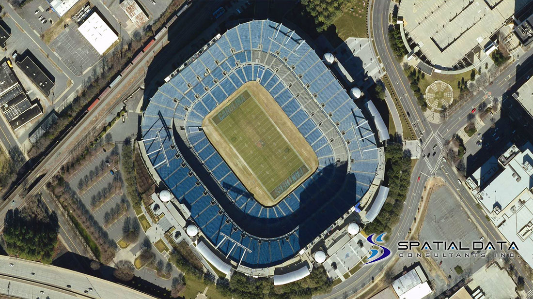
- Digital Aerial Imagery at 0.5’ (15cm) nominal GSD, 8-Bit RGBI (4-Band)
- GNSS-INS and Post 5-day Post Processing
- Airborne LiDAR at 3-4 Points Per Square Meter (PPSM)
- LiDAR Post Processing, Calibration and Full ASPRS Classification
- Digital Aero-Triangulation
- Digital Orthoimagery at 0.5’ GSD, 8-Bit RGB, 2,000’x3,000’ Delivery Order (DO) Tiles
- Internal Level-1 Macro Quality Control and Assurance
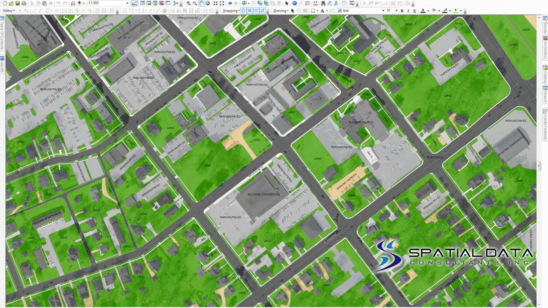
- ESRI GIS Project Management and Deliverables
- MrSID DO Tile Processing and Composite Mosaics
- Project Technical Reporting