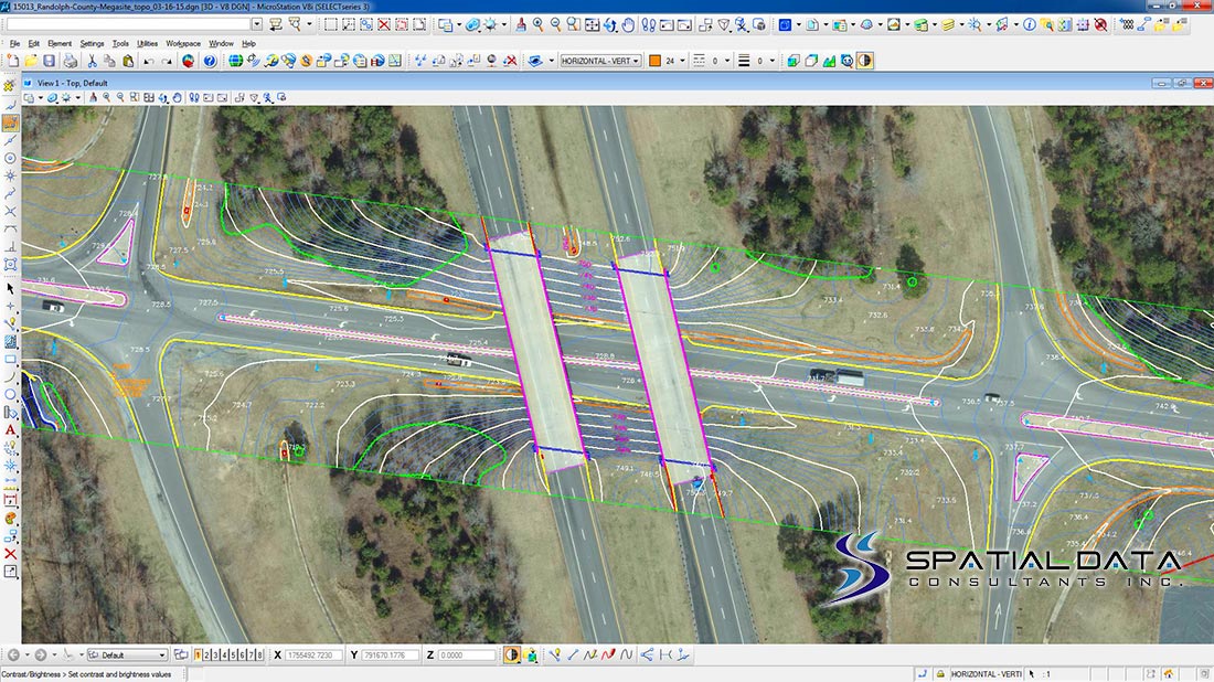
Project Description
Client
Randolph County Economic Development Corporation
http://greensboro-randolphmegasite.com/
Location
Guilford and Randolph Counties, North Carolina
23+/- Linear Miles
Markets
- City Government
- County Government
- Economic Development
- Utilities
Solutions
- Digital Aerial Imagery
- Airborne LiDAR
- Digital Photogrammetry
Services
SDC, as a Sub-Consultant, provided the following range of services.
- Project Technical Planning
- Digital Aerial Imagery at 0.1’ (3cm) nominal GSD, 12-Bit RGB
- GNSS-INS
- Airborne LiDAR at 8-9 Points Per Square Meter (PPSM)
- LiDAR Post Processing, Calibration and Bare Earth Classification
- Digital Aero-Triangulation
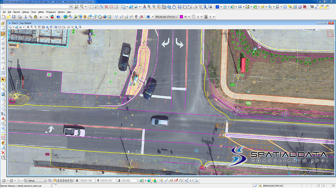
- Digital Planimetric and Topographic Mapping at 1”=50’, 1’ Contour Interval
- Digital Terrain Model Mapping (DTM) – High Accuracy
- Digital Orthoimagery at 0.25’ GSD, 8-Bit RGB
- Internal Level-1 Macro Quality Control and Assurance
- MrSID Processing